
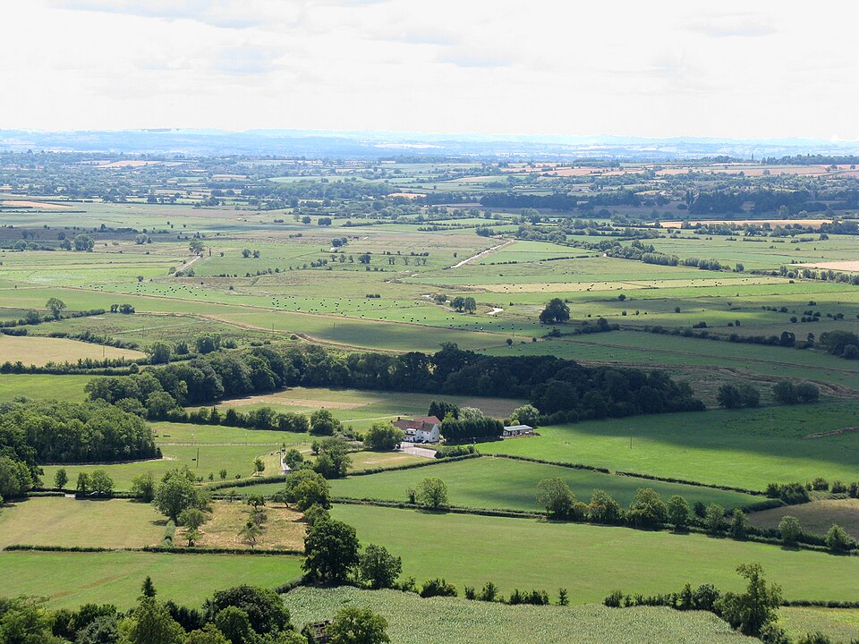
 The Somerset Levels, looking south from the top of the 518 foot high Glastonbury Tor. Image by Photographed by myself (Adrian Pingstone), via Wikimedia Commons. Licensed Public domain |
Somerset Various ArtistsSomerset Levels Somerset Levels Coastal plain and wetland area of Somerset, England The Somerset Levels are a coastal plain and wetland area of Somerset, England, running south from the Mendips to the Blackdown Hills. Quick facts Designations, Ramsar Wetland ... Designations Ramsar Wetland Official name Somerset Levels and Moors Designated 26 June 1997 Reference no. 914[1] Close The Somerset Levels, seen from Glastonbury Tor Map showing the Somerset Levels and the surrounding area. The major hill ranges and rivers are shown. Height (m) 0–20 20–40 40–60 60–80 80–100 100–120 120–140 140–160 160–180 180–200 200–230 230–260 260–300 300–384 Source: Ordnance Survey OpenData The Somerset Levels have an area of about 160,000 acres (650 km2) and are bisected by the Polden Hills;… (Source: Wikipedia)
|
Albums


