
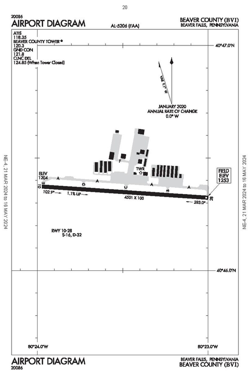
 Airport diagram of Beaver County Aiport (BVI) Image by Federal Aviation Administration, via Wikimedia Commons. Licensed Public domain |
The. BeaversBeaver County Airport Beaver County Airport Airport in Pennsylvania, United States Beaver County Airport or (IATA: BFP, ICAO: KBVI, FAA LID: BVI) is a county-owned public airport three miles northwest of Beaver Falls, in Beaver County, Pennsylvania.[1] Quick facts Summary, Airport type ... Beaver County Airport Airport diagram IATA: BFP ICAO: KBVI FAA LID: BVI Summary Airport type Public Owner County of Beaver Serves Beaver, Pennsylvania, Beaver Falls, Pennsylvania, Chippewa Township, Pennsylvania Elevation AMSL 1,253 ft / 382 m Coordinates 40°46′21″N 080°23′29″W Website Official website Map BVI Location of airport in Pennsylvania Show map of Pennsylvania BVI BVI (the United States) Show map of the United States Runways Direction Length Surface ft m 10/28 4,501 1,372 Asphalt Statistics (2024) Aircraft… (Source: Wikipedia)
|
