
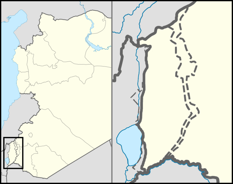
 Location map of the Golan Heights. Image by Syria location map2.svg: User:NordNordWest
Israel location map.svg: User:NordNordWest
Derivative work: Supreme Deliciousness, via Wikimedia Commons. Licensed CC BY 3.0 |
JubatJubata ez-Zeit Jubata ez-Zeit Place in Quneitra, Syria Jubata ez-Zeit (Arabic: جباتا الزيت, Jubātā az-Zayt)[1] was a Syrian village situated in the Golan Heights. According to an Arab resident of a nearby town, it had a population of around 1,500 to 2,000 people prior to the forced expulsion of the town's residents in 1968.[2] Quick facts جباتا الزيت, Grid position ... Jubata ez-Zeit جباتا الزيت Jubata ez-Zeit Jubata ez-Zeit in Syria Coordinates: 33°15′N 35°44′E Grid position 218/295 PAL Country Syria Governorate Quneitra District Quneitra Subdistrict Mas'ade Region Golan Heights Destroyed 1967 Elevation 979 m (3,212 ft) Population (1967) • Total 1,500−2,000 (individual estimate) Close Etymology Jubata ez-Zeit is an Arabic name that translates into English as "olive oil pit," and… (Source: Wikipedia)
|
